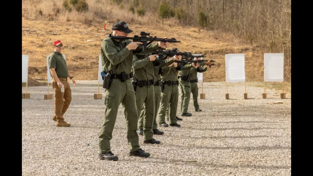
Kentucky State Police (KSP) will be conducting traffic safety checkpoints throughout the region over the next few weeks.
Officials indicate the checkpoints are used to check motorists for compliance with motor vehicle laws including driving under the influence. KSP utilizes the safety checkpoints to promote safety for all motorists and to provide a deterrent for those who violate laws contained in the Kentucky Revised Statutes.
Drivers encountering a traffic safety checkpoint are requested to have their operator’s license, vehicle registration receipt, and proof of insurance accessible. Drivers with the information in hand, with no violations of the law, and minimal roadway congestion can expect to be delayed no more than a few minutes.
State law requires that safety checkpoint locations be released, you can find them below.
Caldwell County
- KY 91 at KY 139 intersection
- KY 126 at KY 672 intersection
- US 62 at Lyon County line
Christian County
- US 41 at KY 800 intersection
- KY 91 at KY 1026 (Clark Store Sinking Fork Road) intersection
- KY 107 at KY 1682 intersection
- KY 507 at KY 508 intersection
- KY 109 at M.J. Boyd intersection
- Mile marker 0.0 of US41A (Fort Campbell Boulevard at the Kentucky and Tennessee state line) to Gate 4 of Fort Campbell Military Base (Intersection of Screaming Eagle Boulevard and US41A).
Hopkins County
- US 62 at the 22-mile marker
- Old White Plains Nortonville Road at Illey Sisk Road
- KY 336 at KY 481 intersection
- KY 2171/KY 481/KY 336 intersection
- KY 112 at Suthards Church
- US 41A at 4100 Nebo Road
- US 41A at the 12-mile marker
- KY 70 at KY 109 intersection
Lyon County
- US 62 at KY 810 South
- KY 93 South at KY 293 and 1055 intersection
- USFS Woodlands Trace at or near the entrance to LBL
Todd County
- US 79 at KY 102 intersection
- KY 181 at KY 507 intersection
- KY 181 at Chestnut Road intersection
Trigg County
- US 68 Bypass – West of the Howard Anderson Bridge
- KY 139 North at Bush Road
- KY 274 – West of the John Woodruff Bridge