While the storms of Saturday morning didn’t buffet Trigg, Christian and Todd counties as much as expected, they certainly brought some damage to Fulton, Hickman and Graves counties.
Officials and surveyors with the Paducah office for the National Weather Service confirmed later in the day that an EF-1 tornado landed directly northwest of Water Valley, near the Graves/Hickman border.
Keith Todd, spokesman for District 1 of the Kentucky Transportation Cabinet, said crews spent Saturday afternoon cutting up trees and removing debris from the brief blast, which came through after 8 AM.
Todd noted that early storm damage reports indicated that the city of Hickman, in Fulton County, was hit hardest — where widespread trees and utility lines were reported down with flash flooding. Members of the Fulton County highway maintenance crew had difficulty reporting to the KYTC maintenance facility, with one employee reporting damage to his home from downed trees.
As such, this KYTC crew initially focused on clearing downed trees from KY 125/Union City Highway and KY 166/Middle Road to allow emergency agencies and utility crews access to the city of Hickman. Then, efforts transitioned to cutting up downed trees and limbs and pushing them off the roadway.
In Hickman County, trees were reported down along KY 307, KY 58, KY 239, KY 1529 and KY 1708, with numerous roadways flooded. Crews had cleared most roadways before sundown, by cutting up limbs and trees so they could be pushed off the right-of-way.
In Graves County, numerous trees were reported down along the Purchase Parkway and areas along the Graves-Hickman county line. Water was over KY 339 in downtown Wingo. Trees were reported down along U.S. 4 in the Water Valley area. KY 58 had “Water Over Road “signs posted at the KY 1283 intersection, and it was CLOSED at the intersection with KY 58.
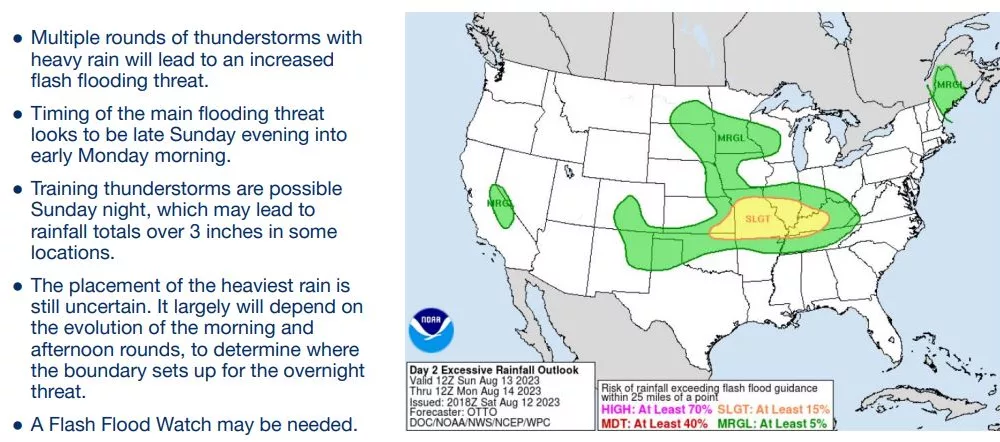
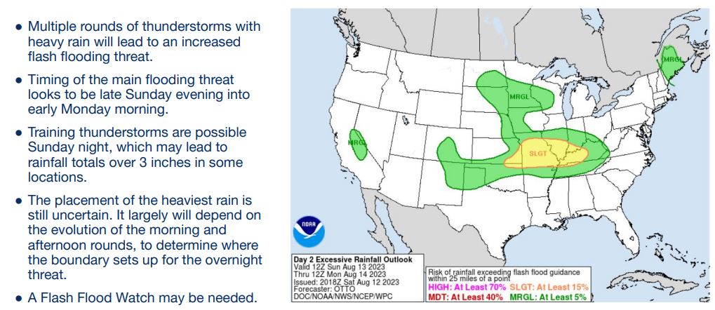
The NWS has asked west Kentuckians to be prepared for “multiple rounds” of thunderstorms Sunday and into Monday — some of which may be severe. Damaging winds are the primary hazard.
Additionally, there is a heightened concern for flash flooding, particularly Sunday night.
