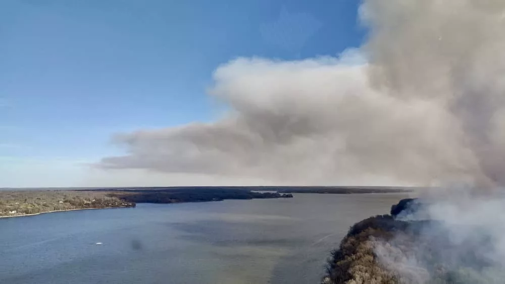
The communities surrounding Land Between the Lakes National Recreation Area have been seeing a lot of smoke this winter and early spring thanks to the work of LBL’s fire crews.
Taking advantage of favorable weather conditions, the crews have been conducting prescribed burns to protect the natural resources of LBL.
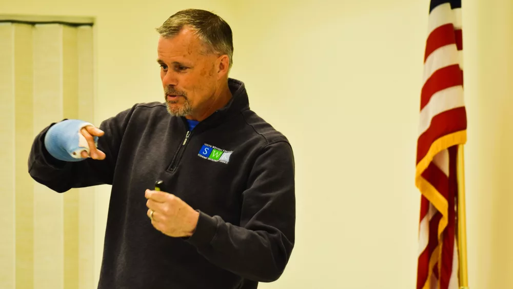
According to Jim McCoy, area supervisor at LBL, the crews have burned more acres than ever before, improving the health of the forests and benefiting the land and recreation opportunities on over 15,500 acres.
The largest single prescribed burn in LBL took place on March 18, covering more than 4,500 acres along the Woodlands Trace in the southern end.
These prescribed burns have helped meet various forest health objectives, such as removing ground clutter, improving wildlife habitat, and promoting the growth of desired trees like white oaks.
Roughly 30,000 acres of Kentucky’s public lands have been improved with fire in the last month, across federal, state, and local boundaries.
Having favorable conditions and the necessary resources has allowed LBL to expand the number of acres treated. Planning for the burns begins months in advance to ensure attainable objectives and mitigate impacts on visitors and neighboring communities.
Smoke modeling is a crucial factor in prescribed burn planning with managers using various programs to forecast the movement of smoke and minimize impacts on communities.
As part of the National Wildfire Crisis Strategy, Forest Service units are expected to increase prescribed burning across the nation. This year, crews from Montana’s Helena National Forest and a Bureau of Land Management crew from Wyoming have learned from and assisted LBL staff on its recent burns.
