The National Weather Service in Paducah has issued a
* Flash Flood Warning for…
Northern Christian County in south central Kentucky…
Southern Muhlenberg County in south central Kentucky…
Northern Todd County in south central Kentucky…
Central Trigg County in western Kentucky…
* Until 600 PM CST Saturday.
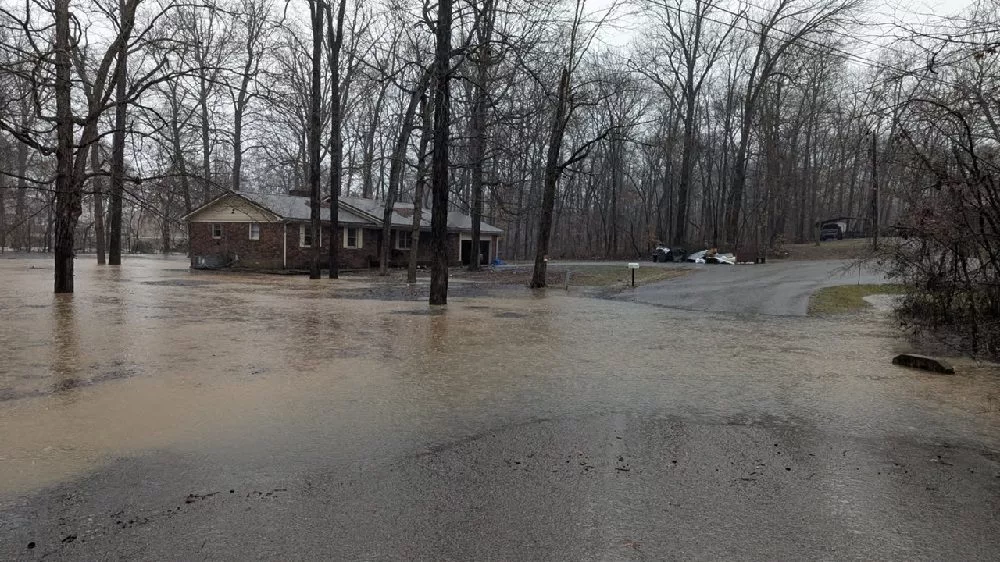
* At 854 AM CST, Doppler radar and automated rain gauges indicated
heavy rain falling across the warned area. Between 1.5 and 2.5
inches of rain have fallen. Additional rainfall amounts of 2 to 4
inches are possible in the warned area. Flash flooding is ongoing
or expected to begin shortly.
HAZARD…Flash flooding caused by heavy rain.
SOURCE…Radar and automated gauges.
IMPACT…Flash flooding of small creeks and streams, urban
areas, highways, streets and underpasses as well as
other poor drainage and low-lying areas.
* Some locations that will experience flash flooding include…
Hopkinsville, Cadiz, Energy Lake Campground, Woodlands Nature
Station, Wranglers Campground, Land Between The Lakes Area, Golden
Pond Visitors Center, Turkey Bay, Crofton, Weir, Greenville,
Dunmor, Canton, Rockcastle, Hawkins, Allegre and Clifty.