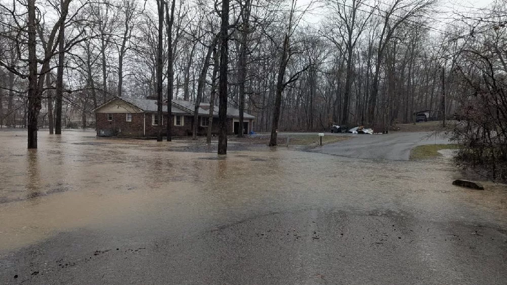
The National Weather Service office in Paducah is forecasting a significant flash flood event this afternoon and tonight across western Kentucky and southwest Indiana and adjacent parts of southern Illinois and southeast Missouri. Lead Meteorologist, Derrick Snyder says a Flood Watch is in effect for these areas until 6 AM Sunday morning.
A Flash Flood Warning has also been issued for Trigg, Todd, and Chrisitan Counties until Sunday, February 16, at 12pm. Officials say if these extreme rainfall amounts occur, dangerous, life-threatening flash flooding is possible and locations not normally subject to flooding may see severe flooding impacts. Snyder adds after the rain ends tonight, area rivers will continue to rise for several days following the rain, and significant flooding impacts from rising river levels are possible through much of next week.
Offiicals remind residents if you are driving, never attempt to drive through flooded roads. It only takes a foot of moving water to sweep a car off the road. Remember, turn around…don’t drown!
Snyder says after the rain moves out we are in for a cold week.
The News Edge will continue to bring you the latest updates from the National Weather Service in Paducah.