Western Kentucky’s bout with wild weather is far from finished.
Following a weekend of serious flooding and unceasing rains, officials with the National Weather Service in Paducah have now issued a Winter Storm Watch — one that goes into effect early Tuesday morning, and will remain in effect through early Wednesday.
Total snow accumulations between four and nine inches are possible from Fulton County, up to Henderson County and back down to Todd County, and could further blanket the Commonwealth east of the Henderson/Madisonville/Elkton line.
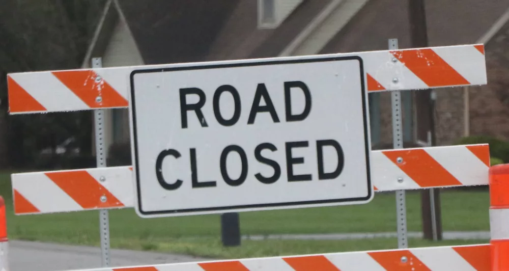
Roads, especially bridges and overpasses, will be impacted, almost certainly to become slick and hazardous — making travel more difficult than it already is.
Dangerously cold temperatures will follow at snow’s end, with temperatures in the teens Wednesday morning, in single digits Thursday morning, and wind chills likely below zero.
The National Weather Service is already indicating that persons should delay travel “if at all possible,” and to prepare for “sudden changes” in visibility.
By Thursday afternoon, it’s possible that parts of western Kentucky will have experienced more than a foot of precipitation in less than seven days.
As of 2:15 PM Sunday, officials with the Kentucky Transportation Cabinet District 2 had noted several roads in the region were blocked, restricted to one lane, or experiencing high water with dangers of soon flooding.
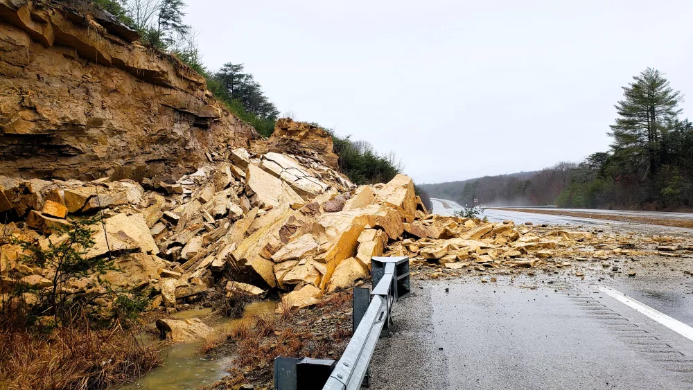
I-69 northbound at the 87 mm, near the Caldwell-Hopkins County line, remains restricted the left lane only due to a rock slide.
In Caldwell County:
KY 91 blocked by high water at KY 2080
KY 91 blocked by high water at the 17.9 mile point
KY 126 blocked by high water at the 1 mile point near Trigg County
KY 128 open with high water at 3.2 mile point
KY 139 blocked by high water at the 14.3 mile point
In Christian County:
U.S. 41 open with high water between the 2.6-2.7 and 11,3-11.4 mile points
U.S. 41A open with high water between the 15.2-15.9 mile points (CLEAR)
KY 109 open with high water between the 10.9-11.3 mile points
KY 115 open with high water between the 0.8-1.0 mile points
KY 117 open with high water between the 7.0-11.5 mile points
KY 124 blocked by high water between 1-2 mile points
KY 164 open with high water between the 3-4 mile points
KY 272 blocked by high water between the 2-6.8 mile points
KY 272 open with high water between the 10.3-10.6 mile points
KY 287 open with high water between their 2.2-3.1 mile points
KY 345 blocked with high water between the 0-4 and 9.2-9.5 mile points
KY 380 open with high water between the 1.8-2 mile points (CLEAR)
KY 400 open with high water between their 0-1.3 mile points
KY 695 blocked between the 2-3.5 mile points
KY 695 open with high water between the 12.1-12.4 and 12.7-12.8 mile points
KY 951 is blocked by a landslide at the 1.3 mile point (NEW)
KY 1007 blocked by high water between 0.8-1.4 mile points
KY 1296 blocked by high water between the 1.4-2 mile points
KY 1338 blocked by high water at the Tradewater River
KY 1453 open with high water between 0-2 mile points
KY 1663 blocked by high water between the 0-2.1 mile points
KY 3186 open with high water between the 0.4-0.8 mile points
In Hopkins County:
U.S. 41A blocked by high water between the 12-13 mile markers
U.S. 62 blocked by high water between the 16-17 mile point
KY 254 open with high water between their 1-2 mile points
KY 281 (Island Ford Road) is open with high water at the 2.1 mile point (intersection with Fowler Road)
KY 502 open with high water between the 1-4 mile points
KY 1033 open with high water at the 4 mile points
KY 2881 open with high water between the 0-1 mile points
KY 3059 open with high water between 1-2 mile points
Also, turn around, and don’t drown. Governor Andy Beshear has already confirmed eight deaths in the state due to this weekend’s weather, and a National State of Emergency has been declared.