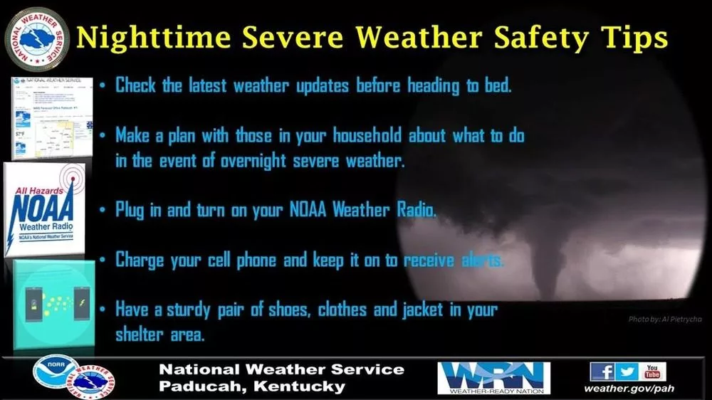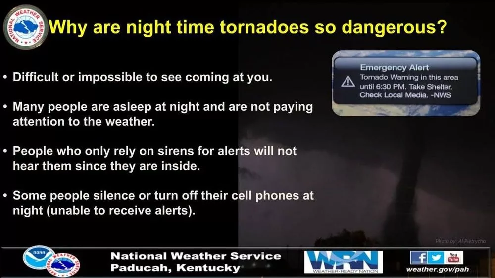
The National Weather Service in Paducah is monitoring the latest weather conditions concerning the severe weather threat Friday night into Saturday morning.
Forecasters say a regional outbreak of severe thunderstorms is likely with numerous tornadoes – several of which could be strong, widespread severe wind gusts ranging from 60-100 MPH, and scattered large hail up to baseball size likely. The latest guidance shows the storms could begin entering our region after 10:00 PM and push out of the region well before sunrise Saturday.
A second round could form Saturday morning into the early afternoon hours, which poses more of a flash flooding risk.
A Wind Advisory is in effect for all of western Kentucky until 4:00 Saturday morning, where south winds from 20-30 MPH with gusts of 45-50 MPH are expected outside of the severe storms. Some areas could even see gusts higher than 50 MPH.
Your Weather Edge will continue monitoring the latest updates and provide reports on-air and online.