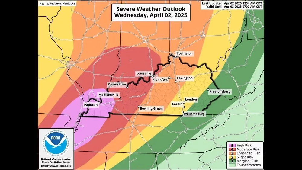
The Storm Prediction Center issued a rare high risk for severe storms (a level 5/5) overnight for most of western Kentucky for Wednesday night’s storms.
Meteorologist Dan Spaeth from the National Weather Service in Paducah told Your News Edge that the risk was increased, including the threat of multiple, strong, long-tracked tornadoes.
Audio PlayerSpaeth added that other threats remain on the table for this system.
Audio PlayerThe storms are expected to start pushing into the region as we advance into the evening hours.
Audio PlayerWestern Kentucky was last under a high risk for severe storms on May 25, 2011. On that day, a total of 94 tornadoes were confirmed, one was rated an EF-4 in that risk area. The last time Kentucky was included in a high-risk zone was March 2, 2012.
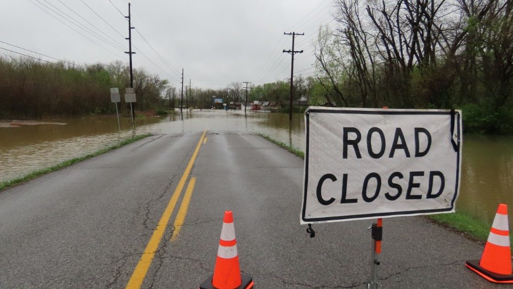
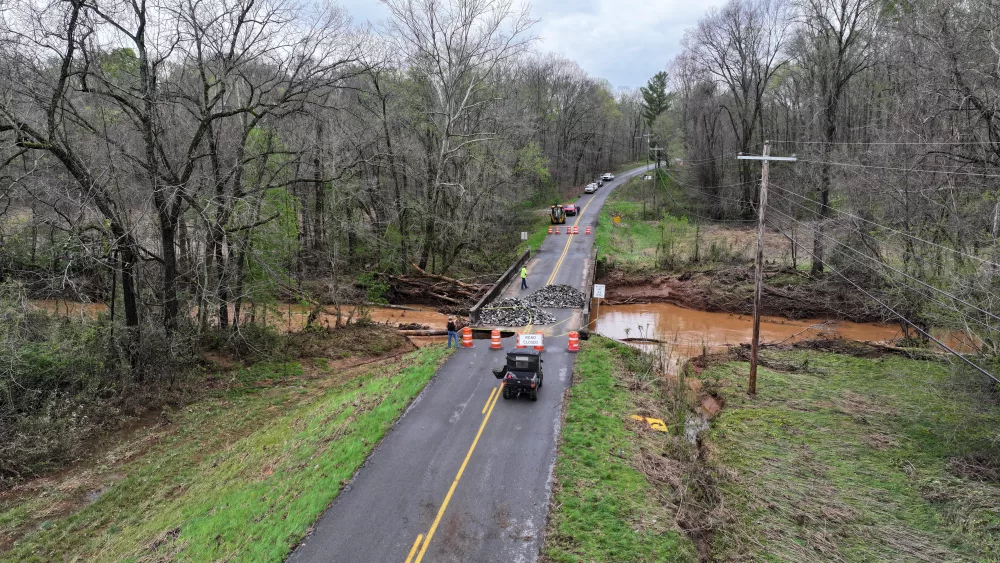
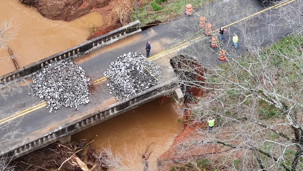
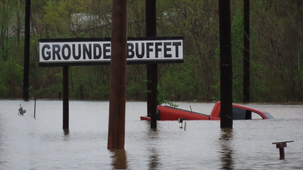
As for the flooding risk, Spaeth said that significant rainfall is still a high concern.
Audio PlayerThe Edge Media Group’s Weather Edge team is prepared to deliver the latest updates as the storms progress on 106.5 WKDZ, 96.5 & 100.9 WHVO, 103.3/1580 WPKY, 92.1/1070 WEKT, 93.9 WKTG HD-1, and 107.7/730 WFMW. You can also stream live coverage through each station’s app and web stream.