There are a great many changes taking place across the northern hemisphere in regards to the weather. In fact, there is so much going on that it is hard to keep up with and therefore, confidence in the outlooks is a best guess situation. So let’s start in the short term.
The weather pattern in our region is about to get much more active with regards to storm systems affecting our region over the next few weeks. The first of these storms should arrive Sunday night through Tuesday, November 29th. At least some decent rain is showing up with the models on this storm. In some cases, more than 2 to 3 inches of rain will be possible…maybe more in our region.
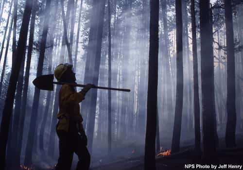
 This will be a big step towards breaking the drought and willdfire conditions that have persisted since September. The pattern will then repeat itself with another storms system for late week and still another the following weekend. As a matter of fact, it looks like no less than six storm systems will have an influence on our weather into mid-December. Most of these systems will track either across our area or just to the north which would put us in the warm sector and give us rain and thunderstorms in some cases. Here is where it gets tricky.
Any of these systems could wrap enough cold air in behind them to cause a change to snow before ending on the backside of them. But with the storm track so close to us, any one of them could track a little further to the south and put us in the cold sector. This of course, would mean a wintry type of precipitation event such as sleet and snow…maybe ice.

The Polar Vortex remains weak due to an early split a few weeks ago and as of yet no meaningful recovery is predicted. In fact, the models are predicting further weakening of the Polar Vortex through the end of the month. In English…this means the ongoing weak Polar Vortex is likely to elevate the risk of wintry weather across the Northern Hemisphere continents, especially Siberia but also including East Asia, Europe and the US during much of December. This could signal the beginning of more typical weather for the season across North America.
But, and this is a big deal, when you add in the Eurasian snow cover in Siberia, the reduced Arctic sea ice, and the stronger than normal Siberian high all would indicate at least one very significant Sudden Stratospheric Warming event during the upcoming winter months followed by an extended period of severe winter weather across the North ern Hemisphere continents the Eastern US. What this means is that, at times during the winter, a warm layer of air will develop high up near the stratosphere over eastern Asia and head toward the stratospheric vortex causing it to weaken by being pinched, displaced or even split. This will cause a portion of the stratospheric polar vortex to extend farther south, forcing frigid air southward with it.
Just so you know, there is a potential for a wintry system coming around the 23rd of December. Then, expect a dramatic warm up right after Christmas followed by potentially severe storms and a dramatic drop in temperatures as we get into the First of the year and the Polar Vortex makes its presence felt. This is a very challenging time in weather outlooks and even some of my friends at the National Weather Service are having a hard time with the long range outlooks. But we keep trying and it keeps me awake at times studying it. Anyway, just be prepared for much more active weather. Feel free to leave comments and be sure to hit the “Like” button at the bottom of this post.


