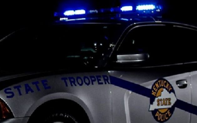
Kentucky State Police’s campaign Operation C.A.R.E. began Wednesday and serves as a way to help keep people safe on area roadways during the Holiday weekend.
Post Two Public Affairs Officer Trooper Rob Austin tells the News Edge the program is a national crash awareness effort by all state police agencies.
CALDWELL COUNTY
* KY 91 at the KY 139 intersection
* KY 126 at the KY 672 intersection
* US 62 at the Lyon County line
CHRISTIAN COUNTY
* US 41 at the KY 800 intersection
* KY 91 at the KY 1026 (Clark Store Sinking Fork Rd) intersection
* KY 107 at the KY 1682 intersection
* KY 507 at the KY 508 intersection
* KY 109 at the M.J. Boyd intersection
* Mile marker 0.0 of US 41-A (Fort Campbell Boulevard at the Kentucky and Tennessee state line) to Gate 4 of Fort Campbell Military Base (Intersection of Screaming Eagle Boulevard and US 41-A).
HOPKINS COUNTY
* US 62 at the 22-mile marker
* Old White Plains Nortonville Road at Illey Sisk Road
* KY 336 at the KY 481 intersection
* KY 2171/KY 481/KY 336 intersection
* KY 112 at Suthards Church (1 mile west of KY 879)
* US 41-A at 4100 Nebo Road
* US 41-A at the 12-mile marker
*KY 70 at the KY 109 intersection
LYON COUNTY
* US 62 at KY 810 (South)
* KY 93 South at KY 293 & 1055 intersection
* United States Forestry Service’s Woodlands Trace at or about the entrance to Land Between the Lakes
MUHLENBERG COUNTY
* US 431 at the KY 176 intersection
* KY 181 at the KY 601 intersection
* US 431 at the KY 70 (Browder) intersection
* KY 189 at the KY 70 (Front Street) intersection
* KY 81 at the KY 181 intersection
TODD COUNTY
* US 79 at the KY 102 intersection
* KY 181 at the KY 507 intersection
* KY 181 at the Chestnut Road intersection
TRIGG COUNTY
* US 68 (Bypass) West of Howard Anderson Bridge
* KY 139 (North) at Bush Road
* KY 274 West of John Woodruff Bridge (near the entrance to boat ramp)
WebReadyTM Powered by WireReady®NSI


