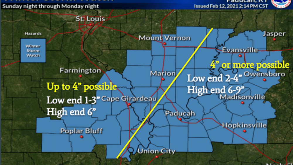
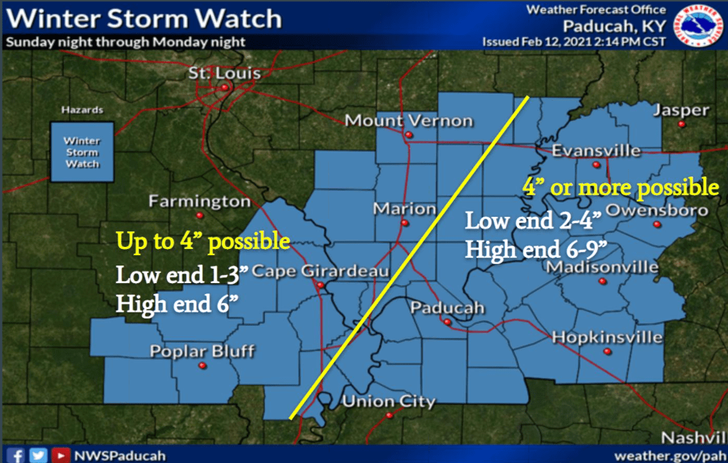
The National Weather Service is predicting Western Kentucky will receive a significant amount of snow Sunday night and Monday.
During a Saturday afternoon web conference Lead Forecaster Chris Noles says models are showing Sunday evening.
click to download audioNoles says Western Kentucky is in line for the largest amount of snow.
click to download audioNoles says the snow will fall in two rounds.
click to download audioHe adds the storm will be out the region by Tuesday morning.
click to download audioNoles says the area remains under a Winter Storm Watch, but notes a Winter Storm Warning is possible when forecasters know the exact track the snow storm will follow.
He adds a conference call will likely be held during the week concerning another winter storm that is likely to impact the region Wednesday. Noles added after the third snow storm forecasters expect the temperatures to begin to rise toward next weekend.

