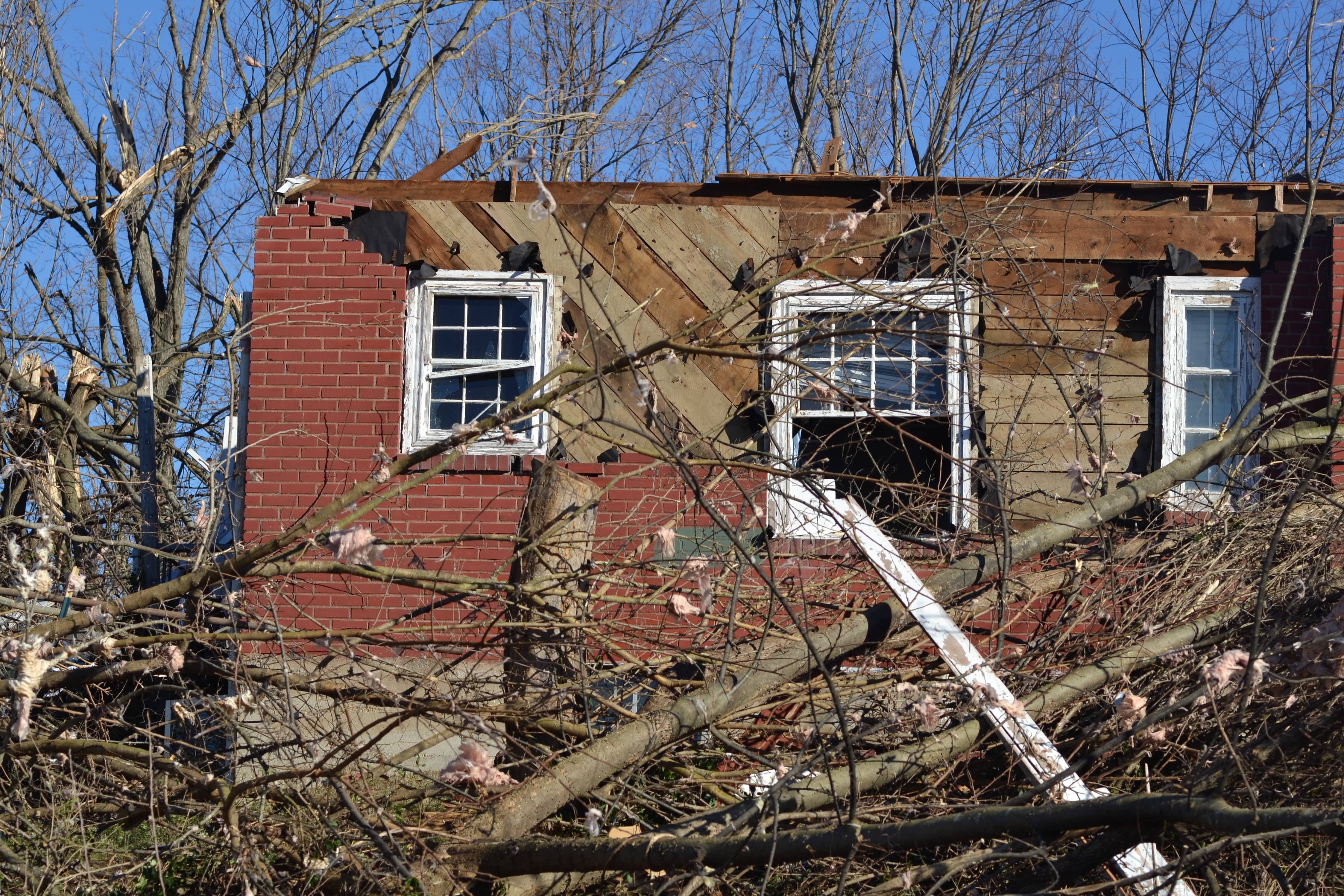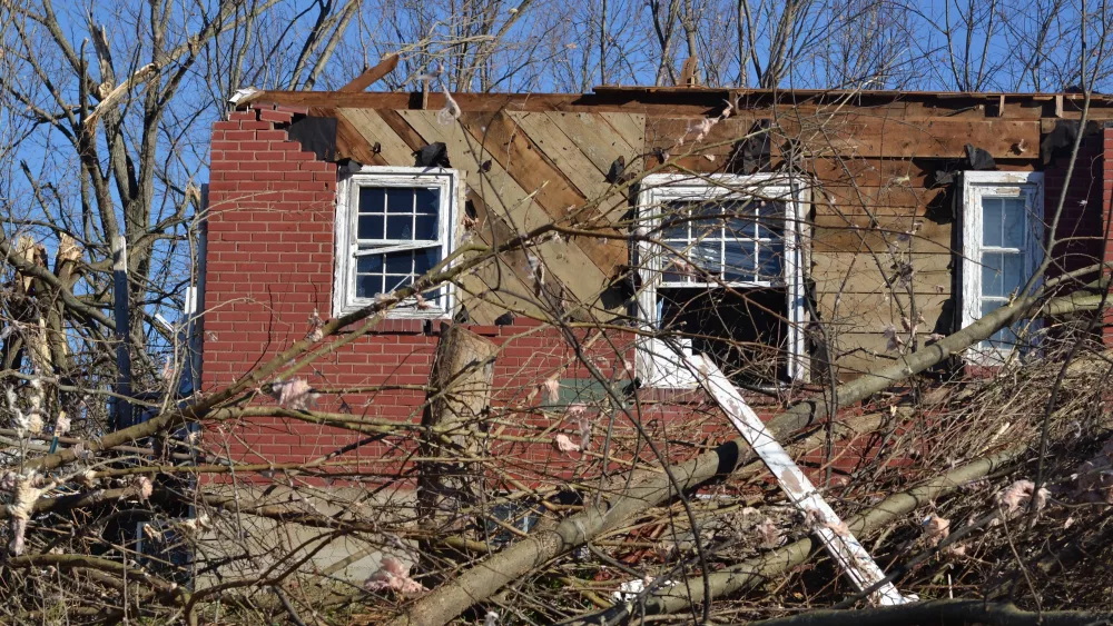
Although the damage surveys are still being completed across the region, the long-track tornado that ripped through western Kentucky Friday night is said to be the worst in the 27-year history of the Paducah National Weather Service office.
Mike York, a meteorologist from the regional office, said that during a weather briefing with local emergency officials Monday morning.
The tornado that was reported to be on the ground for a few hours across Arkansas, Missouri, Tennessee, and Kentucky, may have had a width of up to three-fourths of a mile across the region, according to York.
York added there are at least three National Weather Service office crews helping survey all of the storm damage in the region.
York said crews focused on examining the storm damage east of Princeton Monday.
During the conference, York was asked what happened to area radar sites during the storms to cause problems for those looking to track the storms themselves.
Storm teams will continue to conduct storm surveys over the coming days.
Emergency officials are continuing to ask people to stay away from the damaged areas, so crews can continue their work cleaning up.


